My first stop was at the Bill Reid gallery, established in 2008 as a tribute to the legendary Haida master artist and the living cultures that florish along the Northwest Coast. Belonging to the Raven-Wolf Clan of the Haida Nation, Bill had a long and illustrious career (1920 -1998) as a master goldsmith, carver, sculptor, broadcaster, writer, and community activist. I saw a copy of his well-known wooden sculpture, ‘the Raven and the First Men’, which brings to life a vital Haida myth, depicting the moment the Raven discovered the first people on the beaches of Rose Spit in Haida Gwaii and coaxed them out. An example of his jewellery, the stunning ‘Milky Way necklace’ was on display too. Loved the ‘Haida Raven’ (red and black series) as well.


James Hart and his sons carved this honouring ‘Celebration of Bill Reid’ pole in 2008…with images of a double-finned sea wolf; dogfish; thunderbird; and raven.

There were some tremendous videos playing of Bill sculpting totem poles (it’s really hard work), working on his jewellery creations and Haida painting.
Also of the story of Robert and his brother Reg Davidson, who carved the first totem pole for their community in 1969, after almost a century. (Many of the giant cedar poles that were common across Haida Gwaii had been purposely felled after Christian missionaries deemed them sinful pagan idols, or by assimilationist government policies which allowed collectors, ethnologists and other officials to remove poles under the guise of preservation and study). They didn’t know what they were doing to start off with but learnt ‘on the run’. Just wonderful to experience their journey and the celebration of their aged community who never thought they’d see the day of a totem being raised again.
Kwakwaka’wakw artist, Jamie Gentry, had an exhibition of floral beadwork titled “Blossoming’, so I visited – well, what adorable hand-made and decorated moccasins. Just one example…

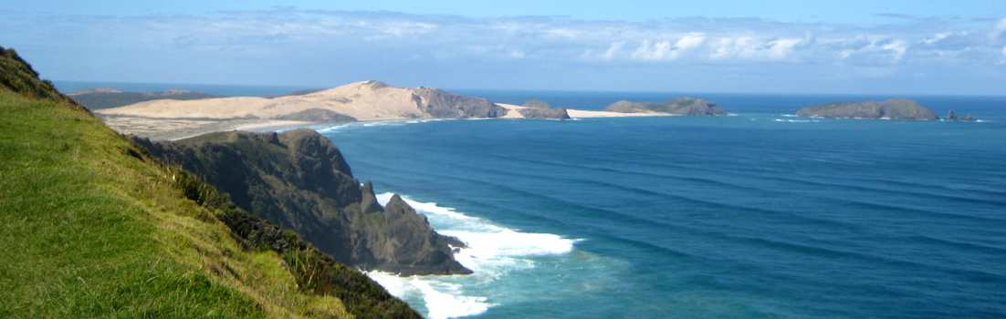
The day’s weather improved, some sun came out so I headed for the lookout @ the Harbour Centre. Some glorious examples of views from 169m.


You know I love a gondola ride in whatever country I’m in, because it means …going up…for landscape views. Well, today I took a chance on the Grouse Mountain gondola and was hoping it would clear, but sadly not…a grey day with foggy misty hues in the back ground. Was totally impressed though by the number of people either doing the ‘the Grouse Grind’ and the ‘BCMC’ – both gruelling climbs, gaining 853 meters of elevation over 2.5 to 3 kilometres. While both offer a killer workout, the Grind is an official, highly competitive, stair-heavy route, whereas the BCMC is a less crowded, more rugged natural trail. Pic is of some people emerging after completing these trails…

I had planned to leave the Vancouver Art Gallery visit for my last day (100% rain predicted), but sadly discovered it was closed Tuesday! Went to the Equinox Gallery instead to see ‘Fred Herzog: A Colour Legacy’, a 20thC photographer who revolutionised colour street photography, embracing Kodachrome slide film. He really captures the vitality of everyday urban life, in all its everyday oddness; in working-class neighbourhoods and commercial areas.


The last image is not part of the Fred Herzog exhibition. It’s in one of the side rooms in the gallery, by Adad Hannah, 2021, titled ‘A Studio Portrait’ (loved the positioning of the small glass mirrors and the slightly Salvador Dali effect it created in the image).


My last day today, flying to LA and then Melbourne tomorrow. I have had such a lovely time in Canada, as always. I am leaving some pieces of myself behind in this lovely country and take pieces of it with me!


You must be logged in to post a comment.